A brief history of Argleton, the English ‘phantom’ town that didn’t exist
When it comes to towns, some of the most interesting on the planet are situated in England, where they either have a fascinating history, weird oddities or something supernatural as a part of their existence.
There’s the country’s smallest town Fordwich, the non-existent Cornish prank town of Porthemmet, the hippy and music mecca of Glastonbury, with its iconic festival and high street packed with shops flogging crystals to hemp-wearing crusties, the Abbey overlooking Whitby’s harbour that inspired Bram Stoker’s Dracula, and Haworth, which will forever be linked with Wuthering Heights and Jane Eyre, as well as Grasmere, which remains inseparable from the work of William Wordsworth.
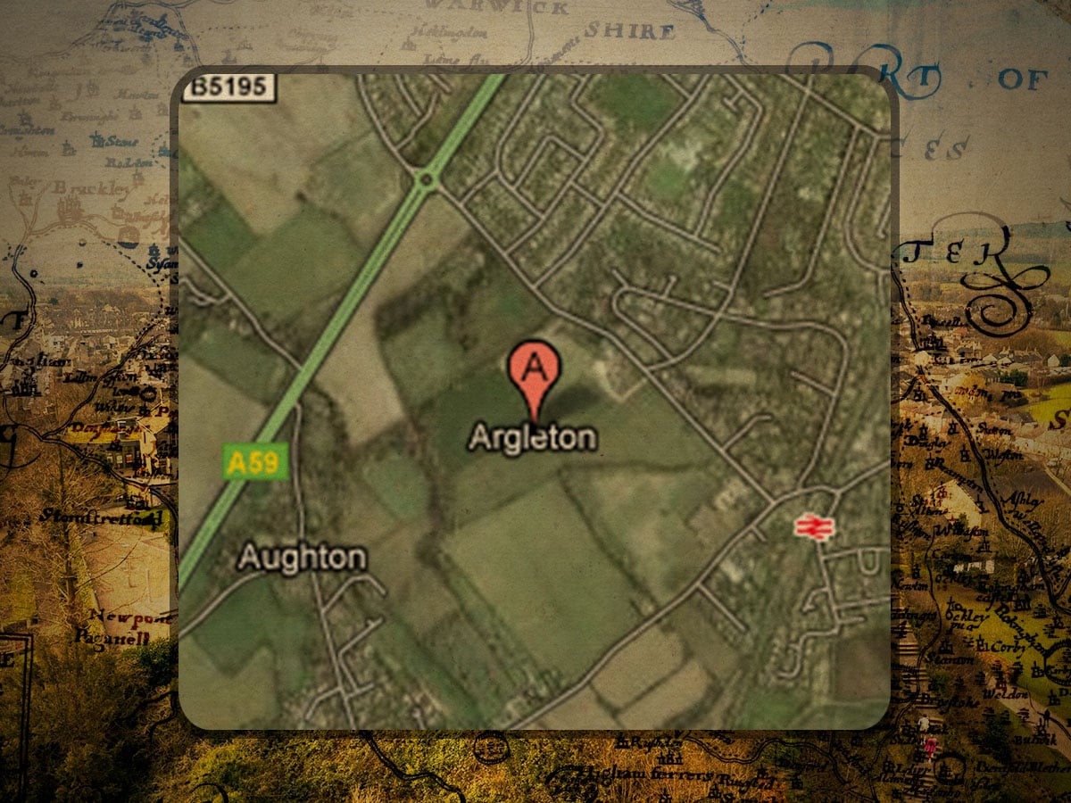
In Lancashire, however, there’s another famous town, Argleton, except this one doesn’t exist and never has, standing as a phantom settlement, a freak occurrence in our digital age. The story begins in the late 2000s when Argleton was visible on Google Maps, situated by Aughton, a real-life village to the west of Ormskirk in Lancashire, England, but the only problem was that it didn’t really exist.
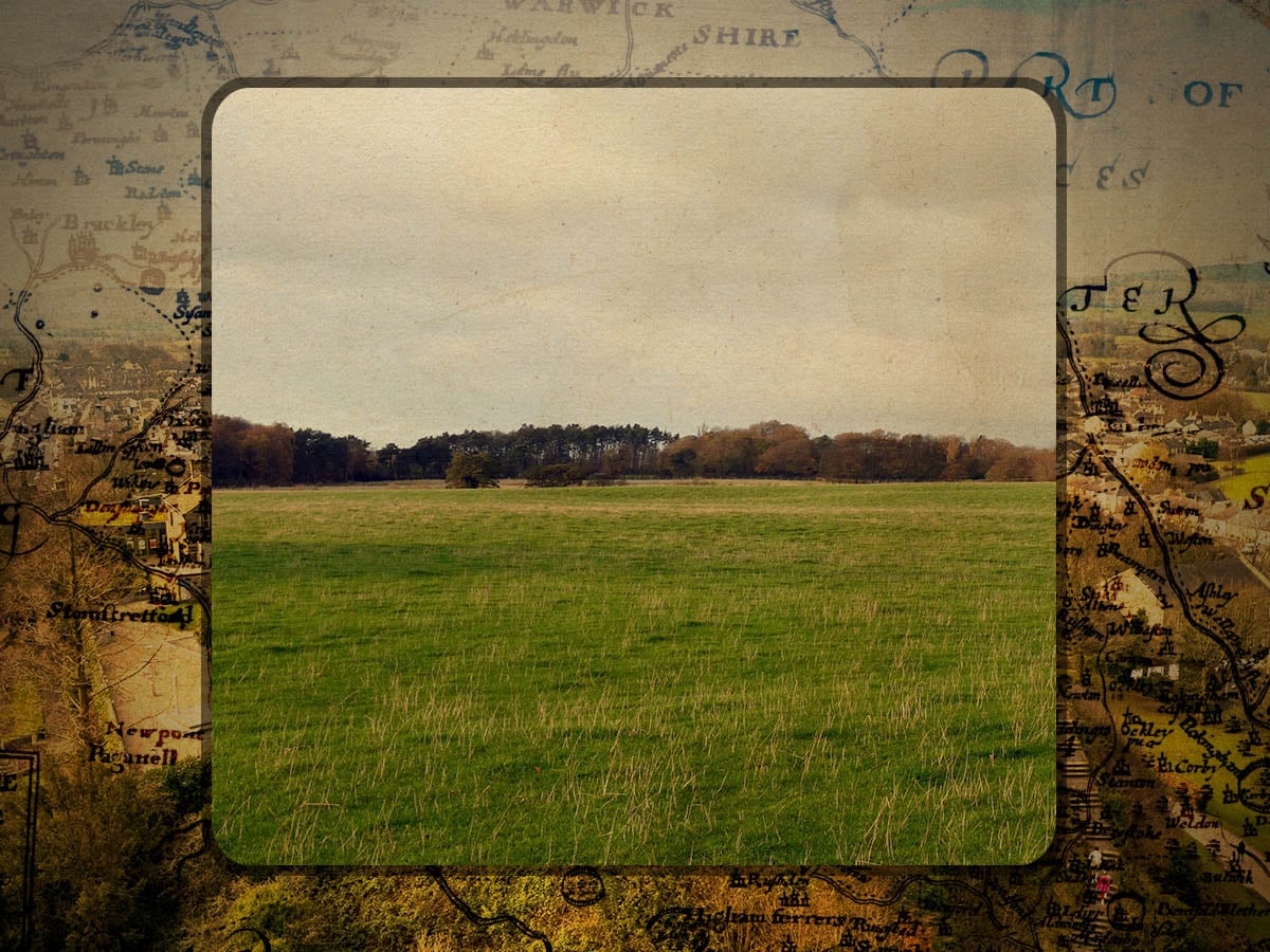
If you clicked on satellite view, you could see that the town was situated in the middle of some fields, but there were no roads, no buildings, no infrastructure, and not even a local boozer. There are other examples of non-existent towns in maps, but these are generally small settlements that have faded over time, becoming abandoned and being overtaken by nature, but this was the exact opposite of that: a town that existed only online.
Locals in nearby Aughton hadn’t ever heard of it, with this local curiosity turning into a worldwide mystery after Mike Nolan, head of web services at Edge Hill University, wrote about it on his blog in 2008, which made it go global within a year, trending as a hashtag on Twitter, and in the next, the phantom town was the subject of a BBC Radio 4 programme, Punt PI.
Technically, the place seemed to exist, with enterprising people grabbing Argleton-related domains, discussions around property prices online, and sat-navs directing drivers to the town, plus it popped up in job listings, and some businesses even registered themselves there, giving an impression that it really did exist, all of which raises the question of how it started. There’s never been any official confirmation about the exact cause of Argleton’s existence, but it looks like one of three reasons.
The first, and most obvious, is that it was a simple mistake made when entering data, whether that was a mislabelled coordinate or something else minor; the second reason, and an extension of the first, is that two databases were merged, which caused a mistake with the label of Argleton attached to a non-existent place. The third reason is the most interesting, with some suggesting that Argleton could be a ‘trap street’ designed as a copyright marker.
Throughout history, we’ve seen cartographers add fictional features into maps, wherein these seemingly tiny flaws can then be used to show that the map had been stolen and copied, given that they were the ones who added that mistake. This led to speculation that Argleton was a private copyright marker, which had unintentionally made its way into the public dataset.
Just two years after first appearing in Nolan’s blog post that kick-started the fascination with Argleton, the town disappeared, having been scrubbed from Google Maps, and now the only things left of this small, millennial town are screenshots and articles.
Argleton now exists as a memory, an example of how digital infrastructure can impact the real world, which, perhaps more than that, poses a question of what a place actually is: a settlement made with bricks and mortar, or something less than that?